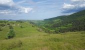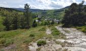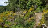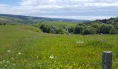

Chasserades -Station Mont Lozère Stevenson

kephas
Usuario

Longitud
25 km

Altitud máxima
1418 m

Desnivel positivo
909 m

Km-Effort
37 km

Altitud mínima
1063 m

Desnivel negativo
663 m
Boucle
No
Fecha de creación :
2017-06-11 00:00:00.0
Última modificación :
2017-06-11 00:00:00.0
7h47
Dificultad : Difícil

Aplicación GPS de excursión GRATIS
A propósito
Ruta Senderismo de 25 km a descubrir en Occitania, Lozère, Mont Lozère et Goulet. Esta ruta ha sido propuesta por kephas.
Descripción
Belle étape avec un détour aux sources du Lot.
La fin amorce l'ascension du Mont Finiels pour se réserver du temps le lendemain
Localización
País:
France
Región :
Occitania
Departamento/provincia :
Lozère
Municipio :
Mont Lozère et Goulet
Localidad:
Unknown
Salida:(Dec)
Salida:(UTM)
565977 ; 4933399 (31T) N.
Comentarios
Excursiones cerca
Stevenson étape 7


Senderismo
Difícil
Mont Lozère et Goulet,
Occitania,
Lozère,
France

20 km | 28 km-effort
4h 57min
No

Stevenson Chasseradès - Le Bleymard


Senderismo
Muy difícil
Mont Lozère et Goulet,
Occitania,
Lozère,
France

21 km | 29 km-effort
5h 4min
No
le Bleymard


Senderismo
Muy difícil
Mont Lozère et Goulet,
Occitania,
Lozère,
France

17,3 km | 25 km-effort
5h 14min
No
Chasserades Bleymard


Senderismo
Difícil
Mont Lozère et Goulet,
Occitania,
Lozère,
France

20 km | 28 km-effort
6h 57min
No
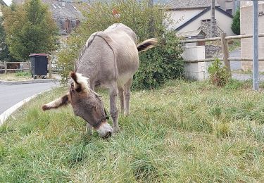
arsel chasserades au bleymard


Senderismo
Muy fácil
Mont Lozère et Goulet,
Occitania,
Lozère,
France

14,1 km | 21 km-effort
6h 14min
No
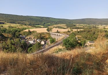
Chasserades Finiels 2020


Bici de montaña
Difícil
Mont Lozère et Goulet,
Occitania,
Lozère,
France

48 km | 67 km-effort
5h 36min
No
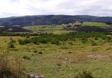
GR_70_AG_07_Mont-Lozere-Goulet_Cubieres_20140921


Senderismo
Muy difícil
Mont Lozère et Goulet,
Occitania,
Lozère,
France

19,8 km | 30 km-effort
6h 12min
No

20230405 Chasserades-le Bleymard


Senderismo
Fácil
Mont Lozère et Goulet,
Occitania,
Lozère,
France

18,7 km | 26 km-effort
4h 32min
No
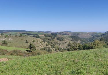
2022-09-19 Rando CVA Lozere Chasserades vers Refuge Mont Lozere


Paseo ecuestre
Medio
Mont Lozère et Goulet,
Occitania,
Lozère,
France

27 km | 40 km-effort
5h 46min
No


 SityTrail


